As noted in my previous post, there is no official historical marker for the Leupp Isolation Center for Japanese-American detainees during World War II. Nor is the location marked on Google Maps (though I submitted a request that Google add a marker).
For anyone wanting to go see the site, here are the directions I used. Please be mindful that a family does currently live in the Superintendent’s House and locals do use the roads.
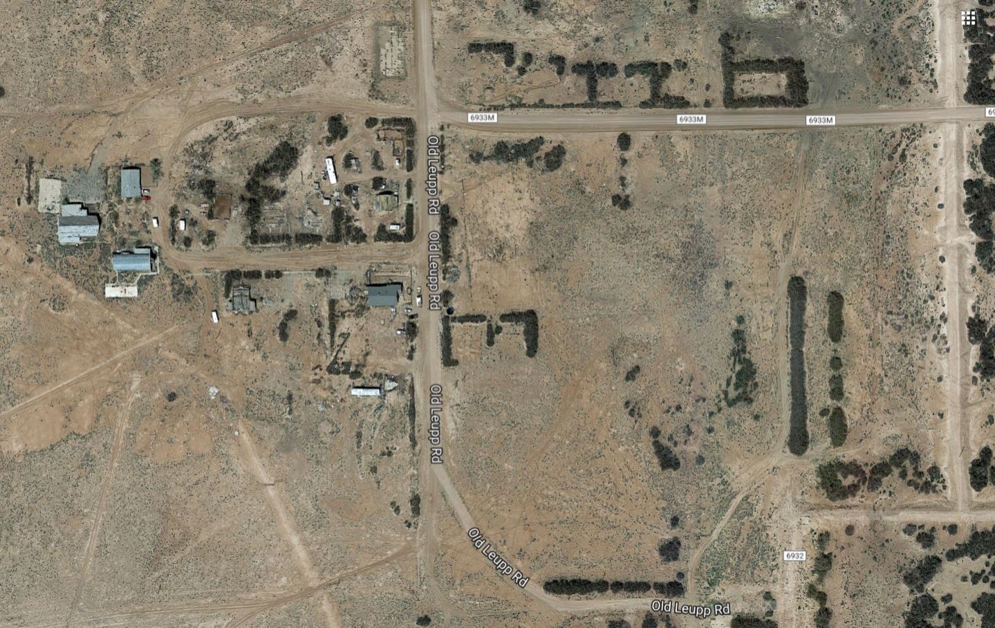
The site is in the area known as Old Leupp, which lies southeast of the current town of Leupp. I began at the gas station (Pic-N-Run) at the center of Leupp and proceeded as follows (3.6 miles total):
- From the gas station in the new town of Leupp, travel east on Indian Route 15/Leupp Road for 1.9 miles to Old Leupp Road
- Turn right (South) on Old Leupp Road
- Continue 1.7 miles on Old Leupp Road past Indian Road 6933 to arrive at the old Superintendents House (on map above).

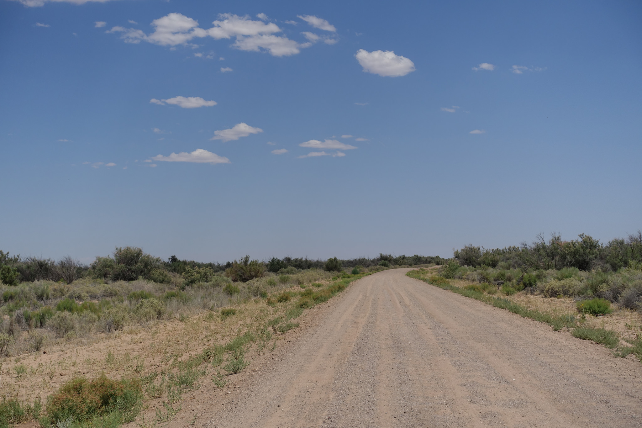
Indian Route 15/Leupp Road is a paved highway, but Old Leupp Road is a graded dirt road with lots of washboarding, so take your time.
The best way to orient yourself is using the Superintendent’s House and the Presbyterian Church. They are easy to find if you match up this Google Map satellite image of the area with the drawing of the site provided below:
Drawing of site from online book Confinement and Ethnicity:

Somewhat on topic, but not too much.
http://northmesamutts.blogspot.com/2017/08/war-memorials-arent-created-equal.html